 By Isabelle Robinson, M.Sc.Feb 15 2018
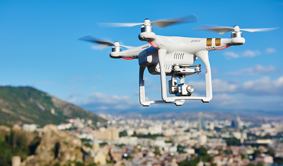
A drone developed by the MIT research team, Computer Science and Artificial Intelligence Laboratory (aka CSAIL), has been trialing new NanoMap Technology. NanoMap is a drone navigation system that has been created for high-speed navigation of ‘cluttered environments’.
 Image credit: Dmitry Kalinovsky/shutterstock
The drones can fly up to 20 miles per hour over crowded environments, such as forests. Unlike existing drone navigation systems, NanoMap technology uses a depth-sensing system to acquire measurements of the immediate surroundings. This allows the drone to make motion plans while also anticipating how it should move in the hidden fields of view.
Presently, drone navigation technology relies on already existing maps that relay distances to the drone that allows it to estimate where they are around obstacles. In theory, this should allow the drone to fly over areas without crashing. However, maps are not always accurate as they can be outdated or missing information. If the estimated locations of these objects are not correct, even by a small margin, the drones will collide with them and render them useless.
Overly confident maps won’t help you if you want drones that can operate at higher speeds in human environments. An approach that is better aware of uncertainty gets us a much higher level of reliability in terms of being able to fly in close quarters and avoid obstacles.
Pete Florence, Graduate Student at MIT
NanoMap technology takes the uncertainty of the maps into account by understanding that the environment can change over time. It does this by modeling the uncertainty.
Florence describes this as “like saving all of the images you’ve seen of the world as a big tape in your head. For the drone to plan motions, it essentially goes back into time to think individually of all the different places that it was in.”
Further to this, the MIT research team trailed the drones with the new navigation system and compared it to test drones without. This is to demonstrate the importance of uncertainty for navigation in drones. It was found that when NanoMap wasn’t introduced the drone was expected to crash 25% of the time when it drifted a mere 5% away from its course. When the new technology was applied, the drone could account for this uncertainty, and this rate dropped to just 2%.
This is an astonishing reduction in crash rates and the team behind it are positive that it could be useful in small drones for some applications. CSAIL believes that the navigation system will be appropriate for search-and-rescue operations or even in package delivery systems. Perhaps the most interesting potential application is in autonomous vehicles. CSAIL are dedicated to improving their technology to change ‘how people work, play and learn.’
This story is reprinted from material from the engineer website, with editorial changes made by Azo Network. The original article can be found here.
Disclaimer: The views expressed here are those of the author expressed in their private capacity and do not necessarily represent the views of AZoM.com Limited T/A AZoNetwork the owner and operator of this website. This disclaimer forms part of the Terms and conditions of use of this website.