Jun 24 2016
As the Federal Aviation Administration (FAA) announces their highly anticipated Part 107, which outlines formal rules allowing the use of commercial drones, many businesses across the United States are rejoicing – and microdrones is no exception.
 microdrones celebrates passage of Part 107 with a special post-processing offer.
The German unmanned aerial systems (UAS) manufacturer recently expanded its operations into North America and has been working diligently to develop industry-specific product packages and special offers to prepare for this legislation.
"This is the day we've been waiting for," said Mike Dziok, Marketing Director for microdrones. "We've worked hard to perfect three exceptional UAS packages, all of which are available immediately."
microdrones packages (mdSOLUTIONS) currently available and ready for sale include:
- mdMapper solution: mdMapper conducts aerial survey missions in wind speeds up to 12 m/s while collecting high-resolution 24-megapixel images from above. Industry-leading flight times help you take on more jobs, more efficiently as compared to traditional surveying methods.
- mdMapMaster solution: mdMapMaster builds upon the mdMapper package with a custom-integrated Applanix APX-15 GPS/IMU direct georeferencing board, allowing users to achieve survey grade results, accurate to two-to-three centimeters without ground control points
- mdAgScanner solution: mdAgScanner helps you assess crop health with aerial measurements like NDVI, NDRE, and LAI. This mdSOLUTION includes a MicaSense RedEdge™ sensor that captures five specific bands – red, green, blue, red edge, and NIR
In celebration of this important industry development, microdrones has released an exciting promotional offer: 60 acres (or 24 hectares) of free post-processing to anyone who e-mails the microdrones team a commercial mapping or surveying question. No purchase is necessary to take advantage of this offer, and all are welcome to participate – even if they are using a competitor's UAS.*
Surveyors, agronomists, engineers, and distributors will immediately understand that this is a rare and high-value offer. Why is microdrones doing it?
"We want to let the industry know that we are leaders in using UAS for surveying and mapping," explained Dziok. "We want to share our knowledge; when surveyors are ready to invest in a system, they'll remember the great experience they had with microdrones."
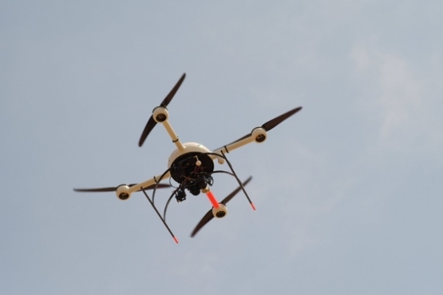
Founded more than a decade ago, microdrones is the world's first commercial VTOL UAV manufacturer. The company is currently focused on providing cutting-edge platforms and data collection solutions to be used for surveying, mapping, precision agriculture, and infrastructure inspection.
"We look forward to helping many more businesses be successful, now that the FAA has officially permitted commercial drone use in the U.S.," said microdrones Business Development Director, Mike Hogan. "Professionals come to us with a question or problem and we help them solve it. We show them new ways to collect and interpret geospatial data. From there, they can make better business decisions based on highly accurate and efficiently compiled information."