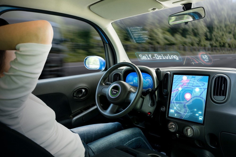
A 3D simulation tool has been created by Southwest Research Institute (SwRI) to test automated vehicles in virtual off-road environments modeled following real-world conditions.

Image Credit: metamorworks/Shutterstock.com
The study expands Southwest Research Institute (SwRI)’s investment into software-in-the-loop solutions to test connected and automated vehicles (CAVs) in scenarios varying from packed roadways to off-road terrain. A simulated environment, or a 3D “software loop,” assists in assessments of an infinite number of scenarios that would be expensive to test in the real world.
The demands of the U.S Department of Defense have been fulfilled by the technology for modeling and simulation tools to aid the progress in the development of unmanned ground vehicles (UGVs), the military term used for autonomous or automated vehicles.
SwRI used internal funding to develop a “pipeline” of technology with off-the-shelf software, custom algorithms, open-source tools, and public map data. The project came up with a “Simulation Scene Adjustment Tool” with a 3D video game-style interface for virtual ground vehicles on off-road terrain to be tested. The simulator makes a digital twin, a virtual representation of an automated vehicle that appears and acts like its counterpart in the real world.
Simulation with the digital twin is crucial for UGV testing and development. Our Simulation Scene Adjustment Tool allows a user to push UGVs and AVs to the limit and explore ‘what if?’ scenarios in a variety of simulated environments more rapidly, safely and cost effectively than if all this testing was done in the real world.
Joe Auchter, Study Lead Author and Engineer, Intelligent Systems Division, Southwest Research Institute
SwRI’s simulator comprises a dynamics engine, vehicle modeling tools, graphics engine, vehicle terrain interaction models, and plug-ins to disclose with an autonomy software stack. It builds scenes with the help of elevation maps that have been captured from geographic information system (GIS) data and graphically makes it to topographical features in 3D.
The first round of study integrated digital elevation models (DEMs) from aerial scans performed by the San Antonio River Authority as well as other government agencies.
We developed algorithms to perturb DEM and GIS data in user-configurable ways that generate synthetic environments. This allows for testing of new algorithms and techniques in simulation, building numerous test environments that share certain relevant characteristics with a real geo-specific location where vehicles will eventually operate.
Joe Auchter, Study Lead Author and Engineer, Intelligent Systems Division, Southwest Research Institute
The machine learning algorithms of SwRI simulate computer vision and sensing outputs for radar, cameras, lidar, GPS, and other systems to discern scene objects, movements, and position when driving responses have been assessed.
A dynamics engine simulates forces resulting in gravity and motion as a vehicle model shifts via an environment. Simulated vehicles could be programmed with speed, weight, horsepower, center of gravity, and also other realistic characteristics. A graphics engine simulates grass, trees, terrain objects, and visual effects like clouds and sky.
SwRI has made safety and security a priority in the development of automated driving systems and autonomous vehicles as the technology attains advanced levels of readiness for military and civilian use.
If you look at field testing of automated vehicles, there are simply not enough miles or novel situations that you can throw at a vehicle to encounter all the edge cases for sensors and software.
Jerry Towler, Assistant Director, Robotics Department, Southwest Research Institute
Towler added, “Modeling and simulation help test AVs and Advanced Driver Assistance Systems (ADAS) to enhance safety and ensure capability before and alongside deployment into real-world testing environments.”