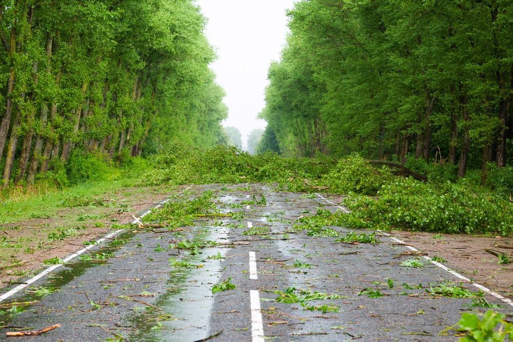
In the wake of storms, safe and uninterrupted road movement is critical so that individuals can receive medical treatment, fallen power lines can be removed, and communities can go back to normal.

Image Credit: Chamille White/Shutterstock.com
Researchers at the Resilient Infrastructure and Disaster Response (RIDER) Center at FAMU-FSU College of Engineering are looking into improved techniques to forecast where road-clogging debris would be most severe during tropical cyclones. The International Journal of Disaster Risk Reduction released its most recent publication.
This research is especially relevant as hurricane season approaches because it reminds us that we need a variety of tools to properly respond to these storms. This paper describes an important tool and applies it to disasters in the Florida Panhandle.
Eren Ozguven, Study Senior Author and Associate Professor, Department of Civil & Environmental Engineering, FAMU & FSU College of Engineering, Florida State University
The quantity of vegetation in the Bay Region, Florida, was measured using satellite pictures before and after two tropical storms and three hurricanes, particularly Hurricane Michael, a Category 5 storm that impacted the county in 2018.
This allowed scientists to calculate how much vegetative debris was generated by the storms, and where the debris was greatest. Researchers were able to link debris observations to variables including wind speed, vegetation density, and highway density.
In comparison to rural regions, debris was found to be heavier in suburban and urban areas, which have a high density of people and highways. Although vegetation is not the only sort of debris produced by a hurricane, it is a good indicator of where roadways will be closed.
Researchers wanted to create a program that would offer disaster management planners an estimate of how much debris storms will produce, allowing officials to plan ahead where trucks and collecting zones will be needed.
The faster you can get debris off the roadway, the better you will be in terms of getting back to normal after a hurricane hits.
Tarek Abichou, Study Co-Author and Professor, Civil and Environmental Engineering, FAMU-FSU College of Engineering, Florida State University
Officials may utilize satellite imaging after a hurricane to swiftly and inexpensively gain an idea of post-storm damage before dispatching first responders, in addition to determining where to place resources before a storm.
The project is part of RIDER’s attempts to tackle civil engineering problems with remote sensing technologies.
Engineering is all about finding solutions despite obstacles, and hurricanes throw up all sorts of obstacles. Improving our ability to use remote sensing to prepare for and recover from storms will help us overcome those challenges.
Tarek Abichou, Study Co-Author & Professor, Civil and Environmental Engineering, FAMU-FSU College of Engineering, Florida State University
Alican Karaer, a former FAMU-FSU College of Engineering Ph.D. student, was the paper’s principal author. Mingyang Chen of Harbin Institute of Technology, Mahyar Ghorbanzadeh, a former FAMU-FSU College of Engineering doctorate student, and Michele Gazzea and Reza Arghandeh of Western Norway University of Applied Sciences, were co-authors.
Journal Reference:
Karaer, A., et al. (2022) Remote sensing-based comparative damage assessment of historical storms and hurricanes in Northwestern Florida. International Journal of Disaster Risk Reduction. doi.org/10.1016/j.ijdrr.2022.102857.