Feb 25 2021
Research team from Skoltech and FBK (Italy) presented a methodology to derive 4D building models using historical maps and machine learning. The implemented method relies on geometric, neighbourhood, and categorical attributes in order to predict building heights. The method is useful for understanding urban phenomena and changes that contributed to defining our cities’ actual shape. The results were published in the MDPI Applied Sciences journal.

Image Credit: Skoltech
Historical maps are the most powerful source used to analyze changes in urban development. Nevertheless, maps represent the 3D world in the 2D space which describes the main features of the urban environment but fails to incorporate other spatial information, such as building heights. In 3D/4D city modelling applications based on historical data, the lack of building heights is a major obstacle for accurate space representation, analysis, visualization or simulations.
Scientists from Skoltech and 3DOM research unit of FBK Trento explored machine learning solutions for inferring building heights from historical maps.
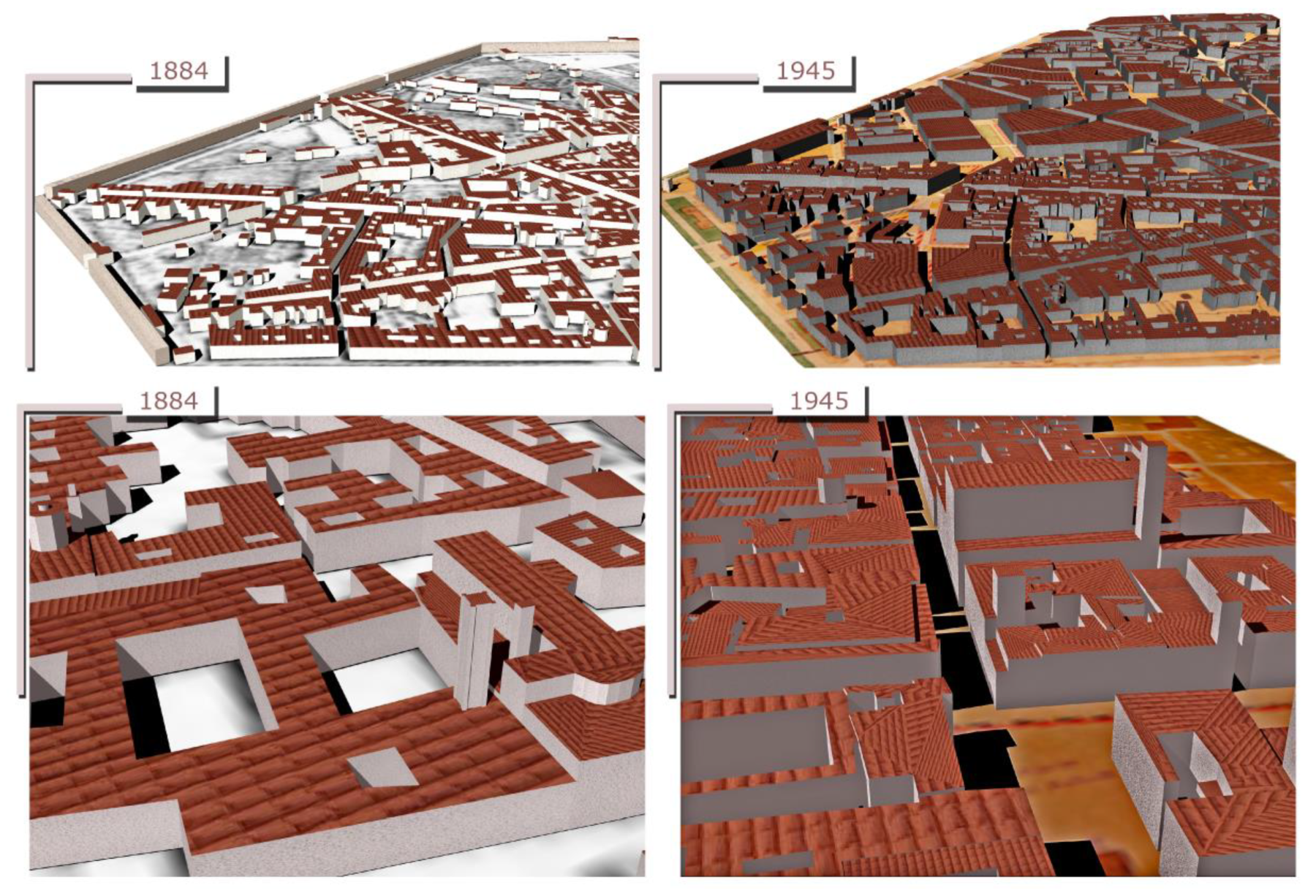
Their method tested on four historical maps of Trento (years 1851, 1887, 1908, and 1936) and Bologna (years 1884 and 1945) reflecting the biggest changes in the urban structures over the last centuries helped to reconstruct multi-temporal (4D) versions of these cities.
“The implemented learning and predictive procedure tested on historical data has proved to be effective and promising for many other applications. Based on few attributes for the prediction, it will soon be expanded to diverse real-life contexts with missing elevation data. The resulting models will be a great help in bridging the geospatial knowledge gap in past or remote situations” Emre Ozdemir, a Skoltech and FBK Trento PhD student, explains.