Feb 23 2021
The United States has an unlimited number of unplugged oil wells, which pose a major threat to the environment.

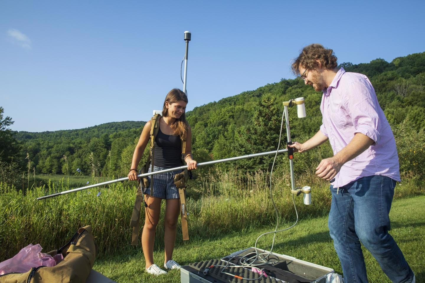
Image Credit: Binghamton University, State University of New York.
Now, with the help of drones, scientists from the State University of New York at Binghamton University have designed a novel technique to detect these dangerous wells that are difficult to locate.
There are around 35,000 abandoned gas and oil wells in New York State, while there are over 600,000 wells in Pennsylvania, dating back to the initial days of drilling. On the whole, there are around two million abandoned wells in the U.S. And all these wells pose numerous risks.
The wells discharge methane—a far more potent greenhouse gas when compared to carbon dioxide—into the air and also release chemicals, like chloroform, carbon tetrachloride and benzene.
Methane increases tropospheric ozone through sunlight-fueled chemical reactions. Ozone is believed to be a pollutant and is associated with respiratory distress.
If all the orphaned and abandoned oil and gas wells in New York State were plugged, the equivalent of nearly 750,000 metric tons of carbon dioxide could be removed from the atmosphere, which is the equivalent of removing the cars of Buffalo for one year.
Timothy de Smet, Geophysics and Remote Sensing Laboratory Director, Binghamton University
There are also economic reasons to plug gas wells; if these wells are left uncapped, they make it hard to re-stimulate older oil fields with more recent technologies, like hydraulic fracturing, reported the article. Therefore, plugging the wells is the right thing to do but before that, one needs to locate them first.
Back in 1879, New York State turned out to be the second state in the nation to need plugging wells once their useful life is over.
However, that requirement of plugging was not properly enforced until contemporary regulations came to the New York State in 1963, and what represented 'plugging' in those initial days was crude by current standards.
The highest level of unplugged wells is located in the western portion of the state, particularly in southwestern counties, like Cattaraugus, and close to the border in Pennsylvania.
At present, the staff at state Department of Conversation is required to go out on foot to detect and plug these wells, which is an extremely inefficient and slow process for even a small region.
Long before the development of global positioning systems (GPS) and satellites, locations were captured on maps that were crude and drawn by hands, and these maps are usually incorrect, added de Smet. At times, such maps under-report the locations of wells or captured wells that were actually never drilled, in other words, where the maps exist at all.
“Some areas are completely undocumented,” added de Smet.
To locate orphaned wells, scientists equipped a drone with a magnetometer that is capable of detecting magnetic anomalies in the metal casings of wells, identifying their place.
However, before the technology could be installed in the larger field, the researchers first need to perform numerous smaller test trials to make sure that the process works as planned. For instance, each drone has a special electromagnetic and magnetic interference signal that should be compensated for, explained de Smet.
Alex Nikulin, an Assistant Professor of Geological Sciences and Environmental Studies, and de Smet have been validating the technology as a means to identify unexploded ordnance in Ukraine, and utilized sophisticated signal processing techniques to find out the optimal parameters required to boost the signal-to-noise ratio.
In earlier experiments, the duo also experimented with flight elevations across the tree canopy.
The team eventually tested the well-detecting drone at a site in Cattaraugus County, wherein a total of 11 wells had earlier been plotted on foot. This method worked: the team identified 72 wells in just over three hours.
We could actually have flown the drone faster and for longer missions, but this was actually the first time we'd tested this, so we were pretty conservative with mission planning.
Timothy de Smet, Geophysics and Remote Sensing Laboratory Director, Binghamton University
Over the long-term, the DEC has planned to apply this method to identify orphaned wells, which would be subsequently plugged by the agency.
Our method is pretty much the most reliable method to find them.
Timothy de Smet, Geophysics and Remote Sensing Laboratory Director, Binghamton University
The study also included the then-graduate student Natalia Romanzo, and Nathan Graber and Charles Dietrich from the New York State Department of Environmental Conservation (DEC), and also Andrii Puliaiev from the drone company UMT.
Journal Reference:
de Smet, T. S., et al. (2020). Successful application of drone-based aeromagnetic surveys to locate legacy oil and gas wells in Cattaraugus county, New York.
Journal of Applied Geophysics. doi.org/10.1016/j.jappgeo.2020.104250.