May 26 2020
In volcanology, active volcanoes have been highly challenging to image as they are difficult to access and there is a high risk of explosion or collapse.
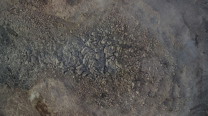
 Picture of the lava dome of the volcano Santa Maria. Through the fissures, the glow of the lava can be seen with the bare eye, which is even more clearly visible in the thermal image. Image Credit: Zorn et al. 2020, Nature - Scientific Reports.
Scientists led by Edgar Zorn from the German Research Centre for Geosciences GFZ in Potsdam have presented the outcomes of a range of repeated survey flights with thermal and optical imaging cameras at the Santa Maria volcano in Guatemala.
Drones were employed to view the lava dome, which is a viscous plug of lava. The team could demonstrate that the lava dome exhibits movements on two different time scales: slow growth and expansion of the dome and rapid expulsion of viscous lava. The study has been reported in the Scientific Reports journal.
We have equipped a drone with different cameras. We then flew the drone over the crater at various intervals, measuring the movements of lava flow and a lava dome using a specific type of stereo photography with a precision never seen before.
Edgar Zorn, Study First Author, German Research Centre for Geosciences
A comparison of the data obtained from the drone enabled the researchers to identify the movement patterns, surface temperature, and flow velocity of the volcano. Such parameters are crucial for projecting the risk of explosive volcanoes. Also, the team successfully derived the flow properties of the lava from the acquired data.
“We have shown that the use of drones can help to completely re-measure even the most dangerous and active volcanoes on Earth from a safe distance,” added Zorn.
A regular and systematic survey of dangerous volcanoes with drones seems to be almost within one’s grasp.
Thomas Walter, Volcanologist, German Research Centre for Geosciences
The drone employed to image the Caliente volcanic cone of the Santa Maria volcano included two cameras with the ability to capture high-resolution photos on one hand and perform thermal imaging on the other.
The team used a unique computer algorithm to develop complete and comprehensive 3D models from such images. The researchers obtained a 3D topography and temperature model of the volcano with only a few centimeters resolution.
Drone missions significantly minimized the hazard for volcanologists, since the cameras can be directly flown to the risky spots without the need for the researchers to go close by themselves. Rather, the biggest challenge lies in the calculation and post-processing of the models.
The 3D models of the various flights must be positioned exactly so that they can be compared. This requires painstaking detail work, but the effort is worth it because even minimal movements become immediately visible. In the study, we presented some new possibilities for the representation and measurement of certain ground movements, which could be very useful in future projects.
Edgar Zorn, Study First Author, German Research Centre for Geosciences
Journal Reference:
Zorn, E. U., et al. (2020) UAS-based tracking of the Santiaguito Lava Dome, Guatemala. Scientific Reports. doi.org/10.1038/s41598-020-65386-2.